UN
73 Devonport Road
£ 26,000
Description
We don't have a Description for this property.
- Bedrooms
- 4
- Bathrooms
- 0
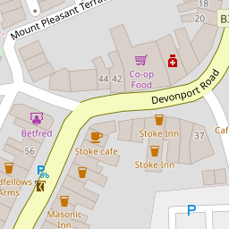
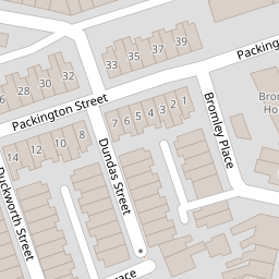
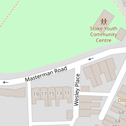

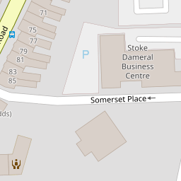

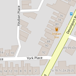

Leaflet © OpenStreetMap contributors
The heatmap indicates the level of crime in the area. The color of the heatmap indicates the crime severity and recency.
Metrics Year-on-Year
- Average area value
- 299,070.00 £Increased by 5.58 %
- Average area rental value
- 1,345.00 £/moIncreased by 28.34 %
- Est rental Yield
- 5.40 %Increased by 21.62 %
- Crime Rate
- 14.00 %Unchanged by 0.00 %
from 283,258.00 £
from 1,048.00 £/mo
from 4.44 %
from 14.00 %
Nearby Schools
| Name | Type | Ofsted | Distance |
|---|---|---|---|
| Stoke Damerel Primary School | Academy Converter | Good | 0.42 KM |
| Ford Primary School | Academy Converter | 0.72 KM | |
| City College Plymouth | Further Education | Good | 0.76 KM |
| Scott Medical And Healthcare College | Studio Schools | Good | 0.80 KM |
| Stoke Damerel Community College | Academy Converter | Requires improvement | 0.80 KM |
Images
Nearby Streets
| Name | Average Price | Average Sqft | Distance |
|---|---|---|---|
| Church Street | £ 280,000 | 0 | 0.00 KM |
| The Elms | £ 0 | 0 | 0.00 KM |
| Pasley Street East | £ 225,000 | 0 | 0.00 KM |
| Keppel Street | £ 140,000 | 0 | 0.00 KM |
| Napier Street | £ 0 | 0 | 0.00 KM |
Nearby Transport
| Name | NLC | TLC | Distance |
|---|---|---|---|
| Devonport | 3579 | DPT | 0.54 KM |
| Dockyard (Devonport) | 3588 | DOC | 1.08 KM |
| Keyham | 3571 | KEY | 1.80 KM |
| Plymouth | 3580 | PLY | 2.55 KM |
| St Budeaux Ferry Road | 3590 | SBF | 3.25 KM |
Nearby Listings
| Address | Price | Type | Score | Distance |
|---|---|---|---|---|
| Devonport Road, Plymouth | £ 300,000 | BUY | Unknown | 0.06 KM |
| Mount Pleasant Terrace, Stoke, Plymouth | £ 195,000 | BUY | 5 / 10 | 0.06 KM |
| Duckworth Street, Plymouth | £ 185,000 | BUY | Unknown | 0.09 KM |
| Wesley Place, Stoke, Plymouth, Devon, PL2 | £ 250,000 | BUY | 6 / 10 | 0.09 KM |
| Duckworth Street, Stoke | £ 150,000 | BUY | Unknown | 0.10 KM |
Nearby Properties
| Address | Price | Distance |
|---|---|---|
| 67a Devonport Road | £ 102,500 | 0.00 KM |
| 81 Devonport Road | £ 177,000 | 0.00 KM |
| 85 Devonport Road | £ 73,500 | 0.00 KM |
| 73 Devonport Road | £ 26,000 | 0.00 KM |
| 63 Devonport Road | £ 180,000 | 0.00 KM |